About Us
We know that good decisions require good information.
Many organisations depend on land somewhere in their operations or supply chains.
Whether you're sourcing agricultural products, restoring ecosystems, reporting environmental impacts, assessing investment risk, improving agricultural productivity, or planning future infrastructure, decisions are ultimately tied to place.
Yet the information needed to make those decisions is often fragmented, expensive, incomplete, or simply too complex to use effectively.
LandLift exists to change that.
We build practical geospatial intelligence.
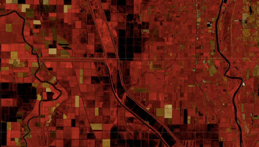
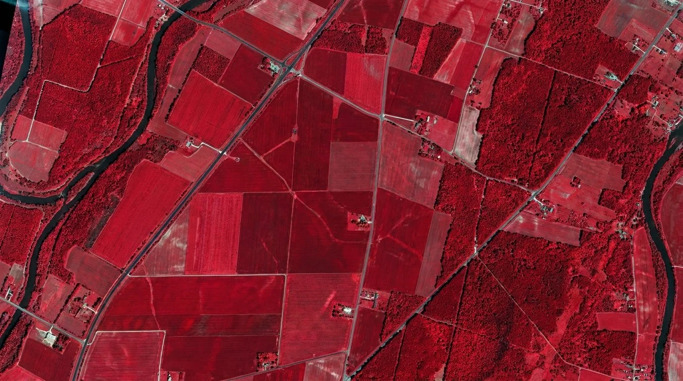
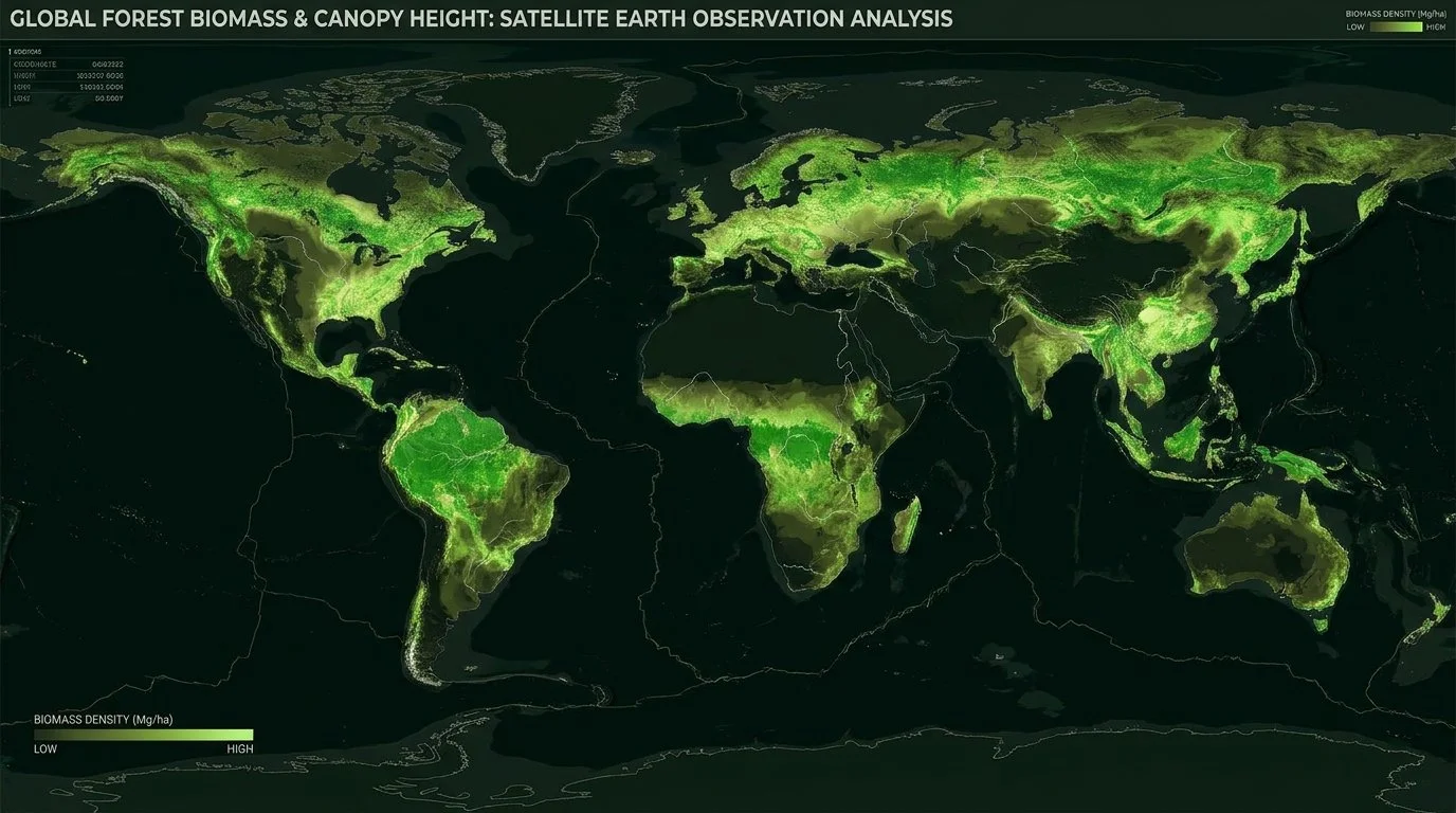
We combine Earth Observation, environmental science and artificial intelligence to transform spatial data into decision-ready insight.
Rather than building technology for its own sake, we work backwards from real-world challenges. Whether the objective is increasing crop yield, reducing operational risk, meeting reporting requirements, improving supply chain resilience or identifying opportunities for environmental restoration, we believe better decisions begin with better spatial intelligence.
Technology is only valuable if it helps people make better decisions.
We think in systems.
Land is where economic, environmental and social systems intersect.
Every land-based decision has consequences beyond the field boundary. Increasing agricultural productivity can influence water quality. Changes in land management affect biodiversity, carbon storage and flood resilience. Supply chain decisions made hundreds of kilometres away can reshape entire landscapes.
Too often these impacts are considered separately.
We believe the best decisions come from understanding the system as a whole.
Rather than optimising a single metric, our ambition is to help organisations understand the wider consequences of their choices, balancing environmental outcomes with operational, economic and strategic objectives.
Because sustainable decisions are rarely about choosing the "greenest" option.
They're about understanding trade-offs well enough to choose wisely.
We are an EXIST-funded startup.
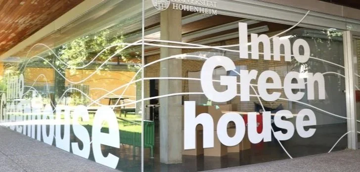
LandLift is supported through Germany's EXIST startup programme at the University of Hohenheim, giving us the opportunity to develop ambitious technology in close collaboration with industry, researchers and early partners.
This support allows us to test applications against real-world requirements, refine our technology through practical use cases, and build solutions that provide measurable value beyond technical novelty.
We're looking for collaboration partners.
We're actively looking to work with organisations tackling difficult land-related challenges. These may include organisations working across agricultural supply chains, environmental reporting, ecosystem restoration, climate adaptation, land asset management or geospatial decision-making.
We're particularly interested in organisations where existing monitoring, analysis or reporting workflows are costly, fragmented or difficult to scale.
Some of our most valuable conversations begin not with a product demonstration, but with someone saying:
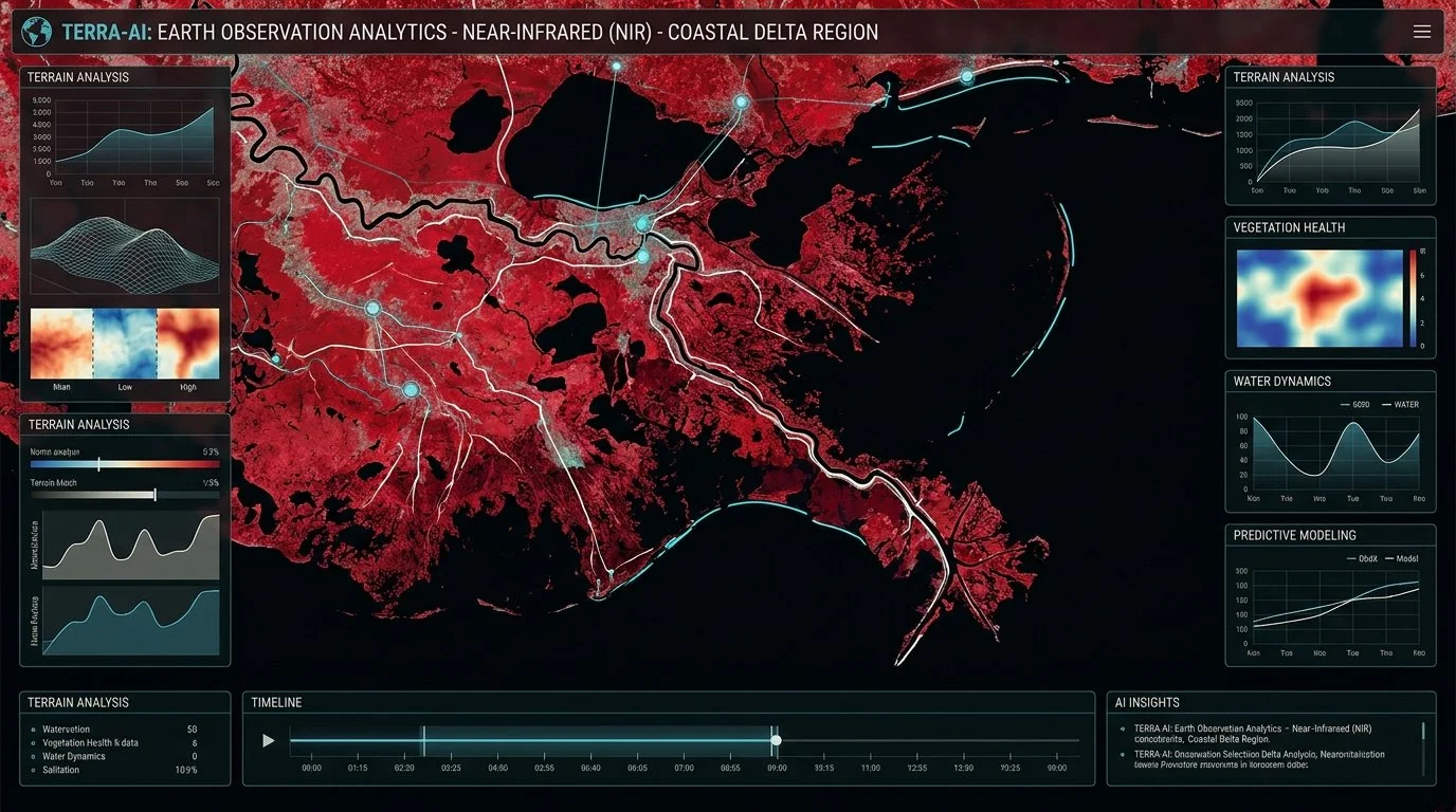
"We've always wanted to answer this question, but we've never had the right tools..."
Building around real needs.
LandLift is at an early stage, and we're actively working with organisations to identify where our capabilities can create the greatest value.
This allows us to develop around genuine operational requirements rather than forcing problems to fit a predetermined product.
Our ambition isn't to become another mapping platform.
It is to build practical land intelligence that helps people make better decisions — wherever those decisions happen.
Our goal isn't technology for technology's sake.
It's land intelligence built around problems that matter.